Ras Rhobell Fawr
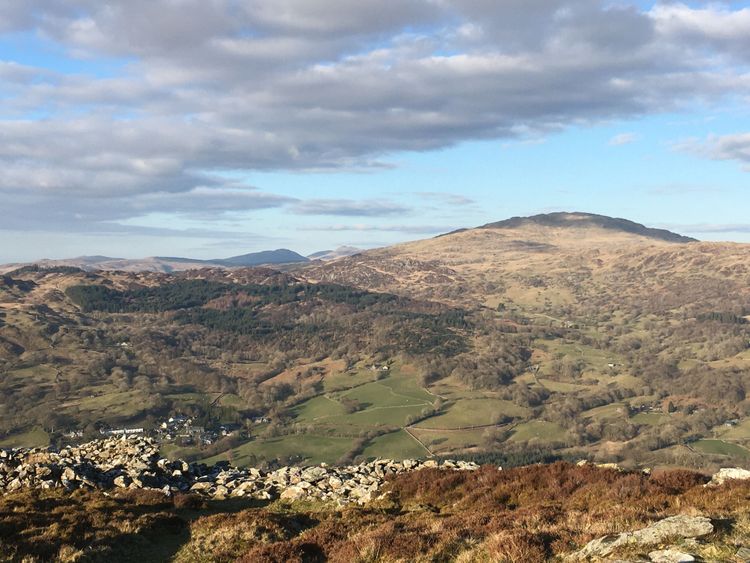
Just in the medium length category, this out-and-back race climbs through fields and tracks then follows a wall to the summit. Llanfachreth village hall is the start and finish and our post race soups are things of legend! Check out the race map (its good idea to look at a bigger map of the area as well) and read the safety info to see if this is a race for you. You will need full WFRA kit( NB this is a minimum- you may want to carry more) and fell shoes. We offer a junior race starting just after the seniors on the same course, details in the safety briefing. entry £2 on the day only.
Lleoliad
Llanfachreth Village Hall, Dolgellau, Gwynedd, LL40 2DY (GR SH 756225)
You are welcome to cycle to the event, bikes left at own (minimal) risk outdoors.
There is a bus to Llanfachreth from Dolgellau on a Friday! The nearest train station is 12 miles away in Barmouth. Buses travel the main roads to Dolgellau from Porthmadog and Bala directions you could alight about an hours walk from the village.
Please car share - parking is limited-save money, have company, save the planet! Consider car sharing from a car park in Dolgellau or Coed y Brenin if you can’t do it from home. Please park considerately for villagers and fellow runners.
Gwybodaeth diogelwch
General AreaIncludes upland moorland / open fell, or more remote low-lying areas | 1 | 2 | 3 | 4 | 5 |
HeightUp to approx 2,500 ft (750m) | 1 | 2 | 3 | 4 | 5 |
TerrainMostly very rough tracks and/or off track with difficult underfoot sections (e.g. bogs, tussocks, boulders) or steep ascents/descents | 1 | 2 | 3 | 4 | 5 |
Exposure (drops) and hazards on or near routeOccasional moderate exposure and/or moderate terrain risk (see left) | 1 | 2 | 3 | 4 | 5 |
Navigation skills requiredCompetent: possibly some waymarking but runners must be confident in self navigating without obvious features | 1 | 2 | 3 | 4 | 5 |
Mountain skills requiredBasic: off-trail experience helpful, e.g. in route planning, preparation and emergency considerations | 1 | 2 | 3 | 4 | 5 |
Escape routesLimited escape routes; a fatigued or injured runner might require basic survival kit and skills | 1 | 2 | 3 | 4 | 5 |
Season time and effect of weatherDifficult conditions likely (e.g. winter/night) and/or route prone to bad weather or sudden changes; effect may be severe | 1 | 2 | 3 | 4 | 5 |
Enter
£8 online at Fabian4. £10 EOD
Enter onlineTrefnydd
Nicholas Bradley
07831 604759, 01341 423297
nich.bradley@icloud.comWedi'i yswirio gan WFRA